
Scott County, Minnesota
Scott County, Minnesota
Scott County, Minnesota, organized in 1853, is located in the southern part of the Twin Cities Metro area.
Scott County is bordered:
- on the north by Hennepin County and Carver County,
- on the west by Carver County and Sibley County,
- on the south by Le Sueur County and Rice County, and
- on the east by Dakota County.
U.S. Highway 169, and Minnesota Highways 13, and 21, are the primary north-south transportation routes.
U.S. Highway 169, and Minnesota Highways 13, and 282, are the primary east-west transportation routes.
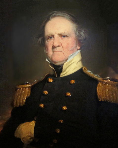
Scott County was named after General Winfield Scott, a decorated U.S. Army general who after his retirement from the military ran an unsuccessful campaign for U.S. president in 1852.
General Scott was an active duty General Officer in the U.S. Army longer than any other person in American history, twenty years of which serving as its Commanding General.
General Scott served in the U.S. Army for a total of forty-seven-years, and saw action during the War of 1812, the Mexican-American War, and for a short time, the American Civil War.
General Scott became a national hero after the Mexican-American War, and in 1852, his Whig political Party rejected its own incumbent President – Millard Fillmore – and made Scott its presidential nominee.
Nevertheless, Scott lost the general election to Franklin Pierce.
In modern history, Scott County was first inhabited by two bands of the Santee Sioux Indians, known as the Mdewakanton and Wahpeton bands of Dakota.
Remnants of the Mdewakanton band survived in the Shakopee area, and now operate the Mystic Lake Resort and Casino.
The area of Scott County became available for settlement as a result of two treaties signed in 1851 and 1853 – at Mendota and Traverse des Sioux – pursuant to which the Dakota tribe was relocated to reservations elsewhere in Minnesota.
Scott County Courthouse
The current Scott County Courthouse is located at 200 Fourth Avenue West, Shakopee, MN 55379-1220.
Scott County Population
Scott County, Minnesota had a population of 129,928 as of the 2010 Census, an increase of 45.2% over the 2000 Census population of 89,498.
Scott County Primary Cities
The city of Shakopee, incorporated in 1857, is the county seat for Scott County, Minnesota, and had a population of 37,076 as of the 2010 Census.
Shakopee began as a trading post for settlers to engage in commerce with the Dakota Indians.
The city of Shakopee is named after three early 19th century Mdewakanton Dakota chiefs of the same name – in Dakota “Shák’pí” meaning “six” – referring to sextuplets born to the wife of the first of these chiefs.
The original gambling facility operated by the Mdewakanton bands of Dakota was known as the “Little Six” bingo hall.
One of these chiefs named Shakopee was the adopted son of Chief Shakopee I, and a biological twin son of an Ojibwa Chief named Ozaawindib – “Yellow Head”.
While ethnically an Ojibwa Indian, this Chief Shakopee – or the Eaglehead – initially identified himself as being from both the Ojibwa and Dakota tribes, but after signing the 1825 Treaty of Prairie du Chien, he claimed to be exclusively Dakota.
This Chief Shakopee guided Joseph Nicollet in exploring parts of the upper Mississippi River, and its tributaries, such as Rice Creek near Fridley, Minnesota.
Other cities located in Scott County, Minnesota include Belle Plaine, Jordan, Elko New Market, New Prague – part of which is located in Le Sueur County, Prior Lake, Savage and Belle Plaine, Blakeley, Cedar Lake, Credit River, Helena, Jackson, Louisville, New Market, St. Lawrence, Sand Creek, and Spring Lake townships.
Copyright 2018 – All Rights Reserved
Gary C. Dahle – Attorney at Law
2704 County Road 10
Mounds View, MN 55112
Phone: 763-780-8390 Fax: 763-780-1735 gary@dahlelaw.com
Links:
Western North Dakota Counties – see http://www.dahlelawnorthdakota.com/north-dakota-counties/